A man was left critically injured yesterday morning when a motorbike and truck collided head-on on the Outeniqua Pass outside of George in the Western


DETROIT, January 30, 2017 — General Motors Co. (NYSE: GM) and Honda
Continue reading


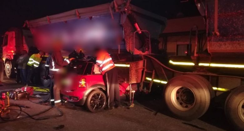
Early this morning EMER-G-MED’s RV6 and A03 were dispatched to reports of
Continue reading

![[VALHALLA] - 12-year-old drowns in residence pool.](https://gps.arrivealive.co.za/wp-content/uploads/2017/12/VALHALLA-12-year-old-drowns-in-residence-pool.-600x330.jpeg)
A 12-year-old has drowned this afternoon in a residential pool in the
Continue reading